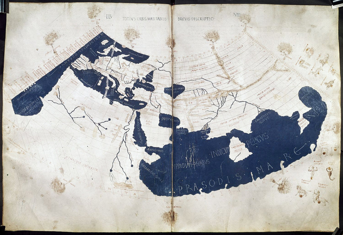
A history lesson about historical maps
Maps are one of the world's oldest art forms, and we don't know for sure when humans first began mapping their world. But it is believed that it began several thousand years ago, in what is now Turkey. It is also an art form that seems to have existed in large parts of the world, and in many different civilizations and peoples. The knowledge of abstracting the physical world into a simplified representation has been found throughout history among the Greeks, Polynesians, Egyptians, Babylonians and the Incas, among others. And in many cases, people not only produced actual maps, but also had their own geographical theories.
And by studying maps, we can also gain insights into history. Both political and social, about mathematics, heraldry, etymology, calligraphy and historical fashion.
It is also through the maps that we can compare and see how the economy changed, how cities grew, shrank or were destroyed and how place and town names changed over time. A historical map is therefore so much more than a map. It is a time document of how the world looked, or how we saw the world, at that time.
The maps we sell are reproductions of copperplate engravings and woodcuts. Robert's collections contain some of the world's most famous, and decorative, maps from history. Many date back to the 16th century, but there are also maps that are older than that. As we are still going through the collections, we do not know exactly what we may find, but you can always look at our category, historical maps , to see what we have in stock.
