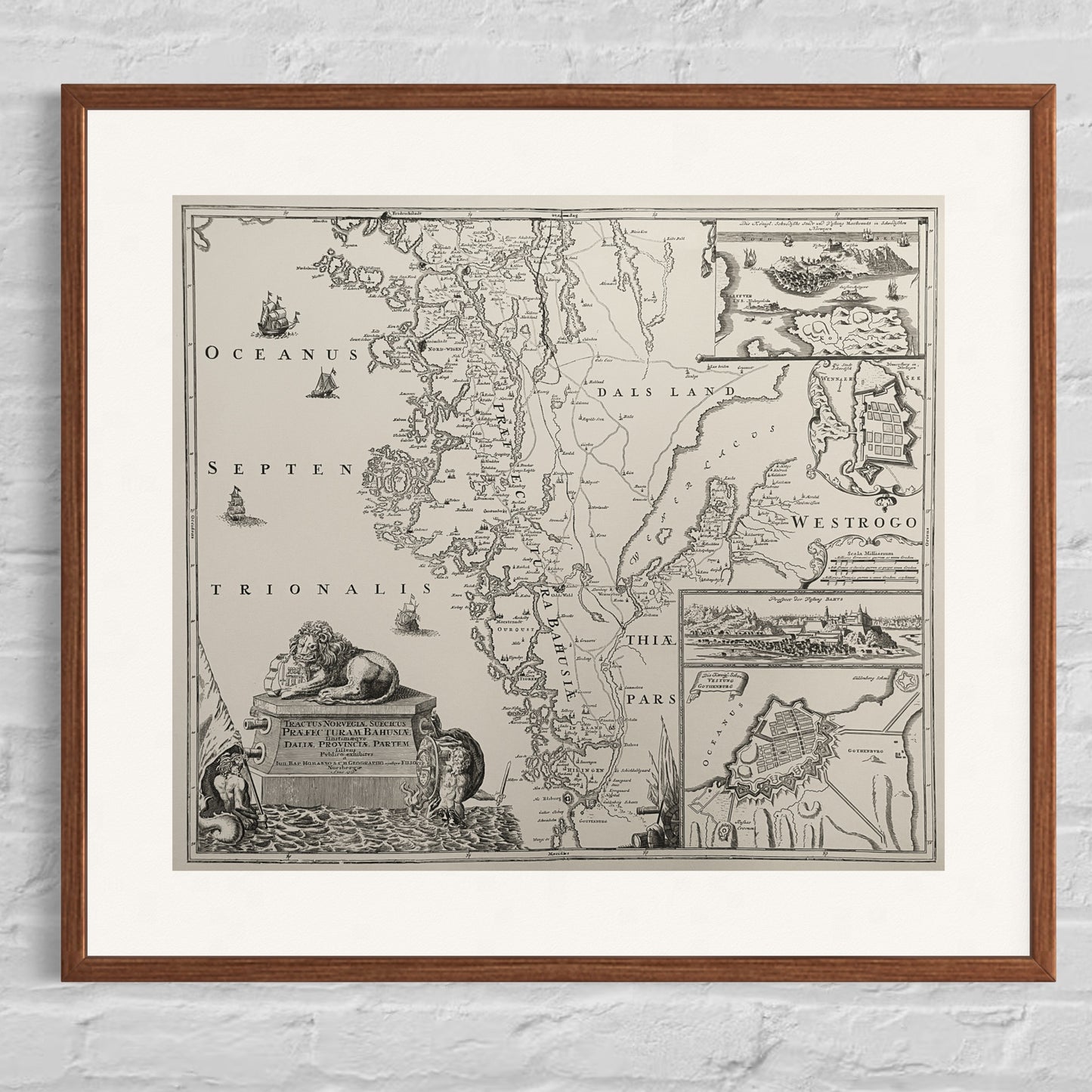
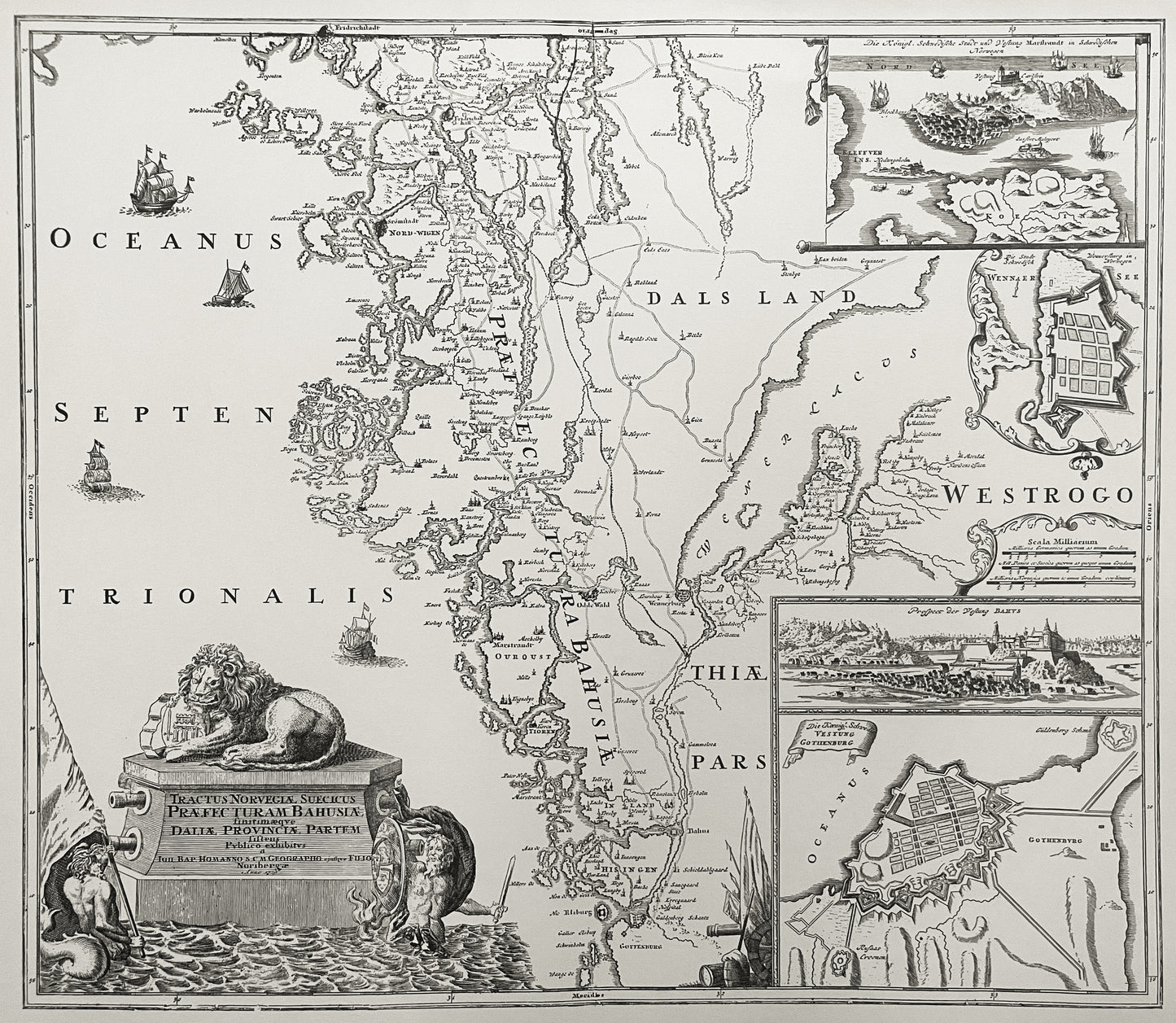
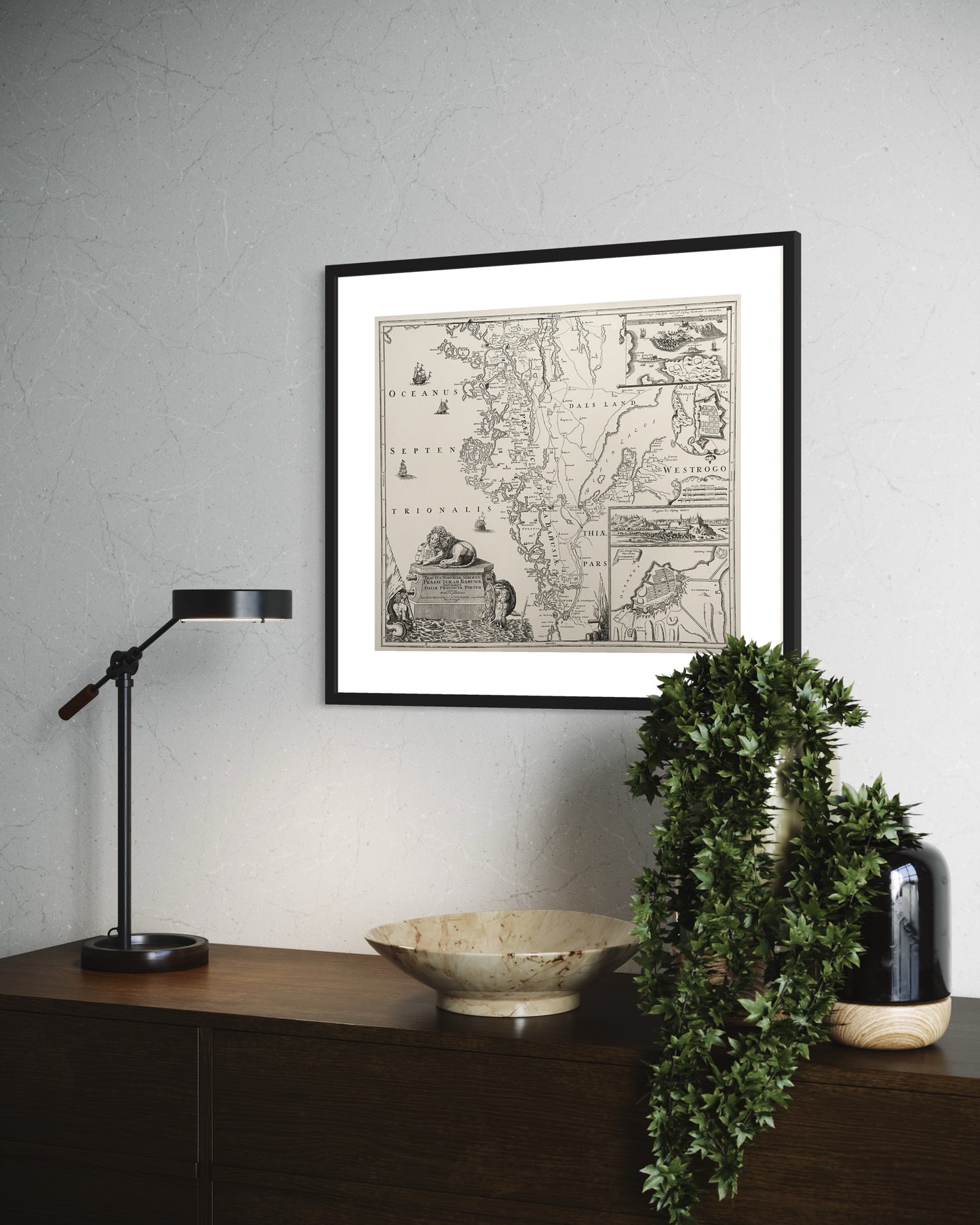
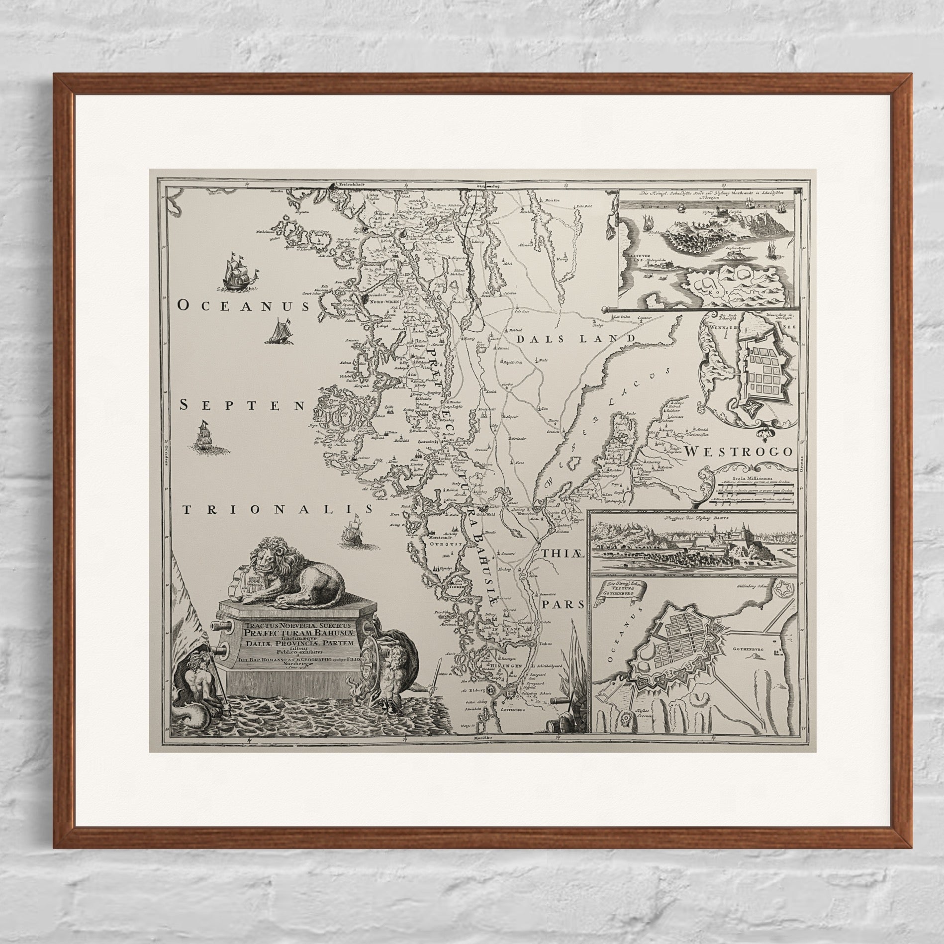
Map of Bohuslän (1716)
Map of Bohuslän (1716)
Couldn't load pickup availability
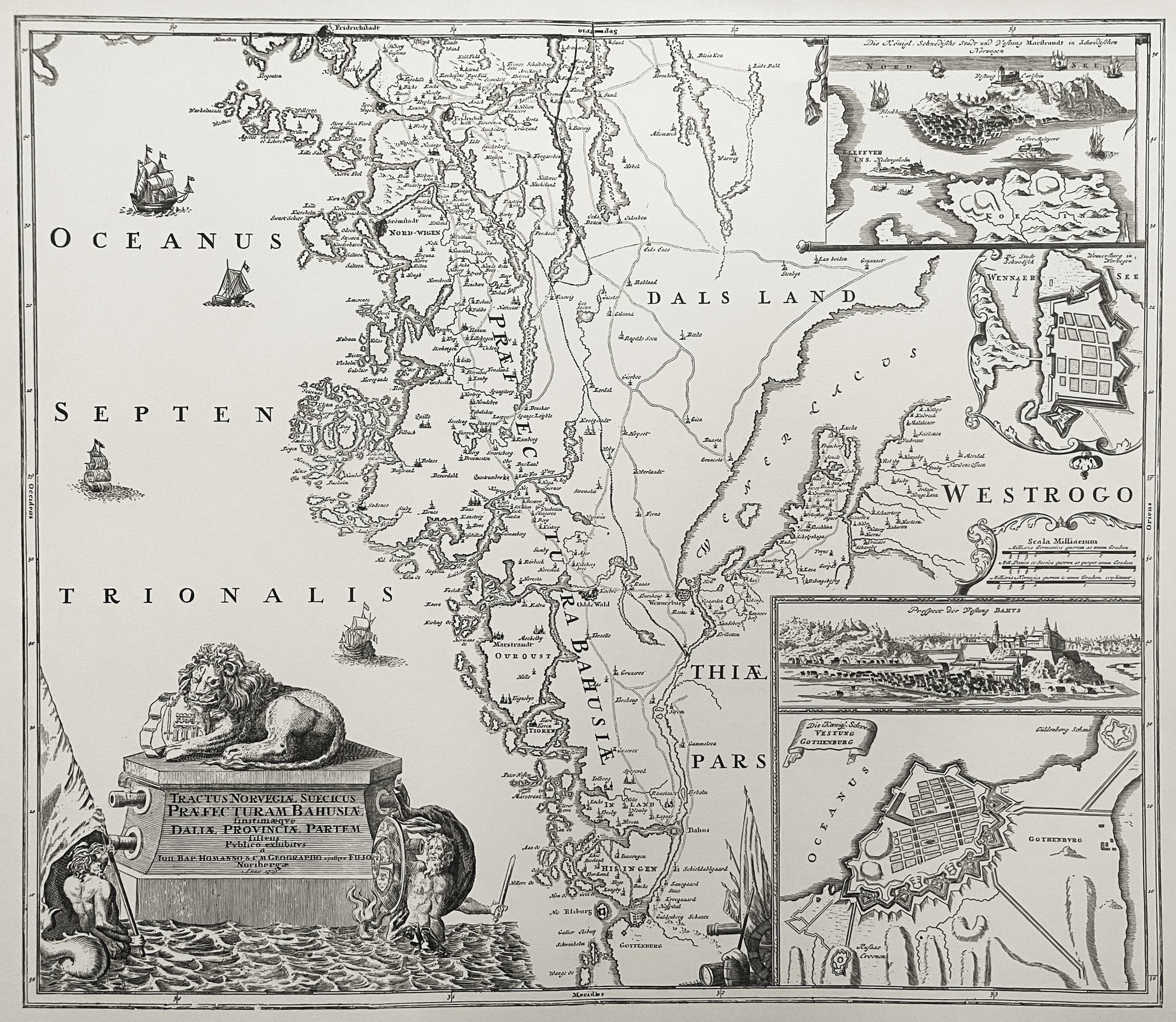
Copperplate reproduction. A large, decorative map of Bohuslän and parts of western Sweden, including floor plan of Gothenburg, Bohus, Vänersborg and Marstrand. In the lower left corner, a lion rests on a plinth with the text:
Tractus Norvegiæ Suecicus
Préfecturam Bahusiæ
finitimæqve
Dalia Provinciæ Partem
the fifth
Publico exhibitvs
The map was created by the German cartographer Johann Baptist Homann and was only published after his death in 1729 in Groszer's Atlas.
The reproduction was produced by Robert, in collaboration with Henry Ståhlbrand, Lengertz Antikvariat in Malmö, in 1957, and they shared the edition.
Only a few in stock.
Can be hand-colored according to historical model.
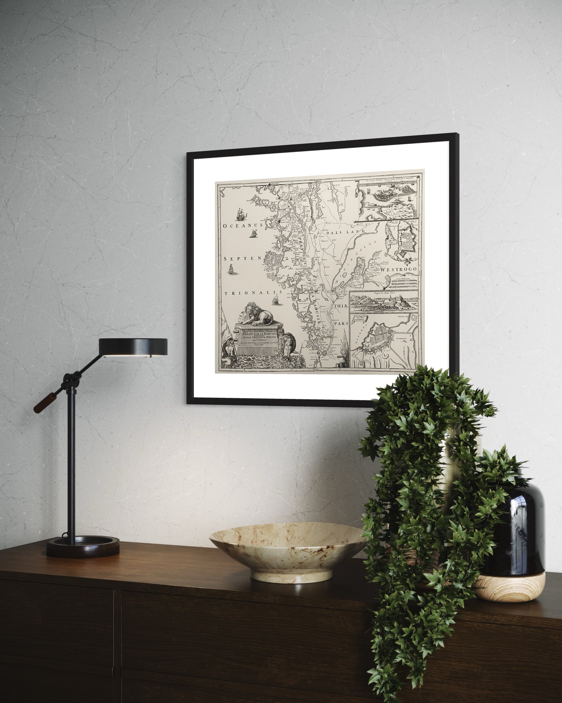
The picture is sold without a frame.
Product info
Product info
Paper size:650x500 mm
Print measurement: 550x480 mm
Type of paper: Ingres paper
Printing technique:Letterpress
Artist:Johann Baptist Homann
The publishing year of the original:1729
The print year of the reproduction:1957
Share
Spontaneously bought a map print as a present for my father. Really good.
