World Map - Typus Cosmographicus Universalis
World Map - Typus Cosmographicus Universalis
Couldn't load pickup availability
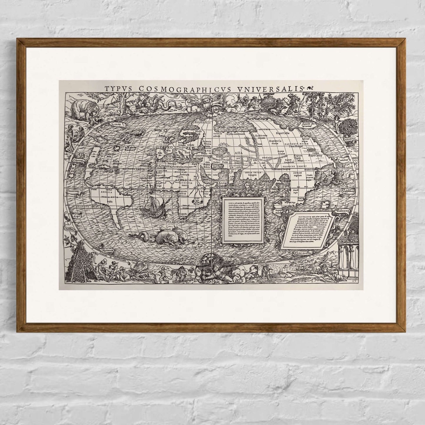
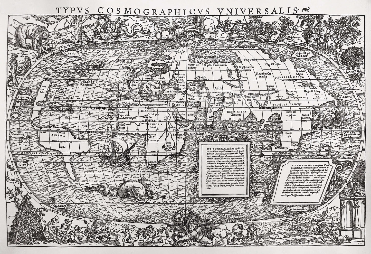
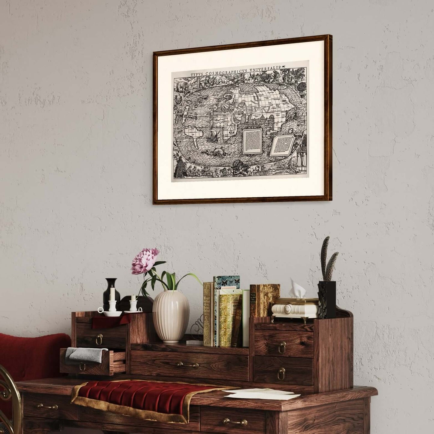
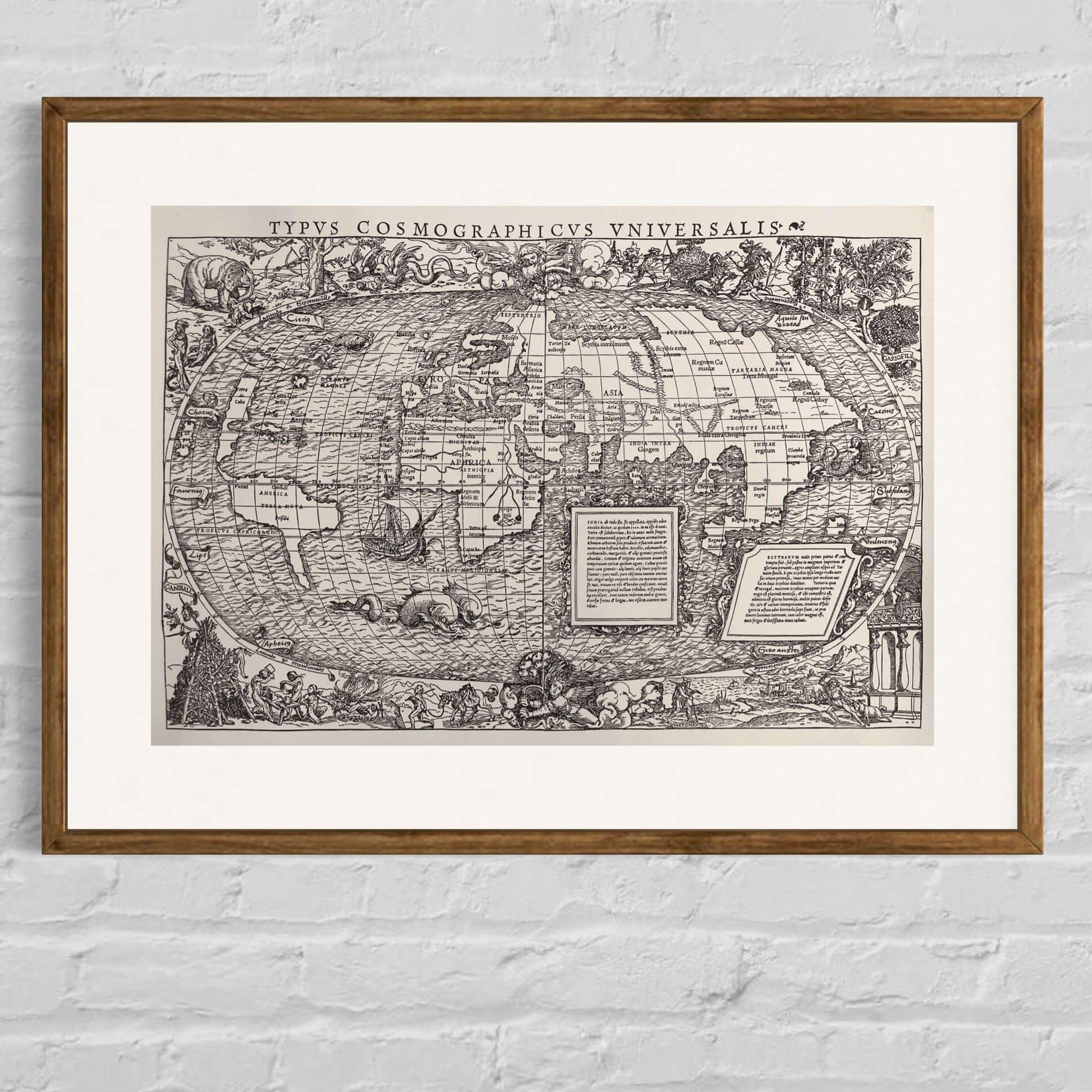
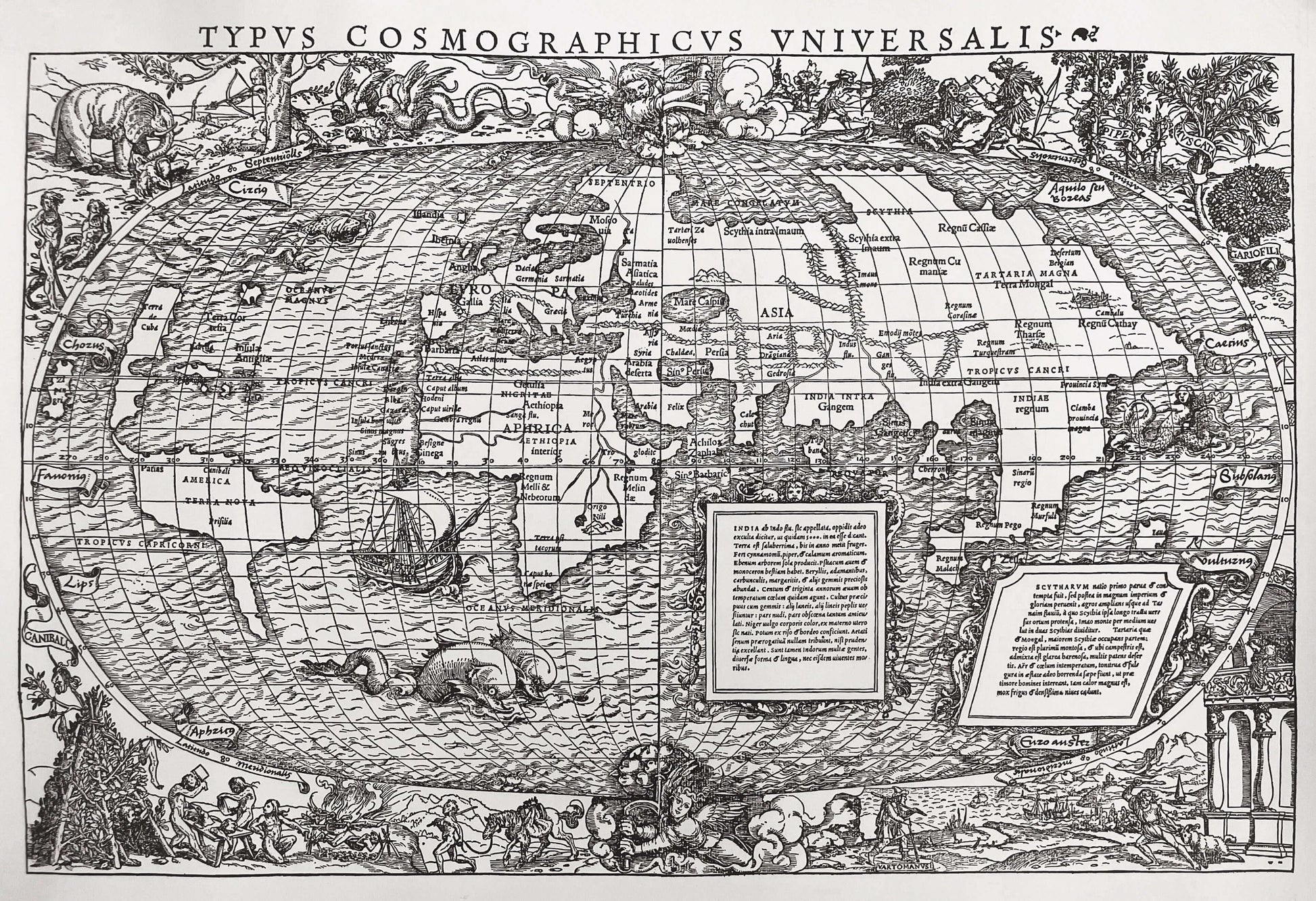
One of our real gems. A stunning reproduction of one of the world's most sought after antique maps. Typus Cosmographicus Universalis, first published in Novis Orbis Regionium, 1532.
The map is one of Münster's most famous
The map was created by Sebastian Münster (1488-1552), who was the most prolific mapmaker of his time. Known among other things for his great geographical work Cosmographia (Basel, 1540). Around the edges of the map are imaginative decorations. These have been attributed to Hans Holbein the Younger (1497-1543), one of the greatest artists of the Northern Renaissance. Holbein, originally from Augsburg, was working in Basel at the time, before moving to London to become the official court painter to Henry VIII.
Holbein's design shows the world turned on its axis by cranks operated by a pair of angels. Some have theorized that this represents the first published depiction of the Copernican view of the Earth fixed on its axis as it revolves around the Sun (predating the publication of Copernicus' work in 1543). But for this there is no direct evidence and it is probably just an artistic whim.
In addition to this, the ornate borders are provided with imaginary scenes of cannibals, winged serpents, elephants and monsters, all drawn from popular, but largely fictional, travelogues of the time, notably Amerigo Vespucci's Mundus Novus (1503).
The vignette labeled 'Vartomanusi' in the lower right corner refers to the explorations of Southeast Asia undertaken by the Bolognese adventurer Ludovico di Varthema (1470-1517). Varthema was famous as the first known Christian to visit Mecca, and from 1502 to 1507 he extensively explored India, Indochina, and the Indonesian archipelago. His account of his travels, Itinerario de Ludovico de Varthema Bolognese (Rome, 1510), was one of the most compelling from the early period of global exploration. The vignette in the upper right corner depicts the spices that were the focus of trade with the East Indies.
The map is one of the most decorative and sought after of all early world maps reasonably accessible to most collectors, thanks to the enormous success of the Huttich-Grynaeus text.
Our reproduction is not only carefully printed, with letterpress, but is also printed on incredibly fine handmade paper from Lessebo.
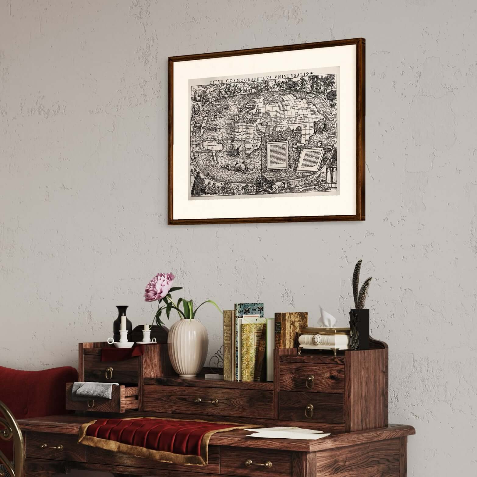
The picture is sold without a frame.
Product info
Product info
Paper size:620x500 mm
Print measurement: 580x395 mm
Type of paper: Handmade paper from Lessebo
Printing technique:Letterpress
Artist:Sebastian Muenster
The publishing year of the original:1531
The print year of the reproduction:1965
Share
